Surfin’: What’s on the Horizon?
By Stan Horzepa, WA1LOU
ARRL Contributing Editor
This week, Surfin’ discovers what is really on the horizon.
Last time, I mentioned using Infoplease’s Distance Calculator to determine the distance between two points.
After reading that, Mike Masterson, WN2A, suggested that I use the Hey, What’s That? Web site next time. After I visited the Web site, I thought, “This is exactly what I had always been looking for!”
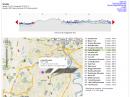
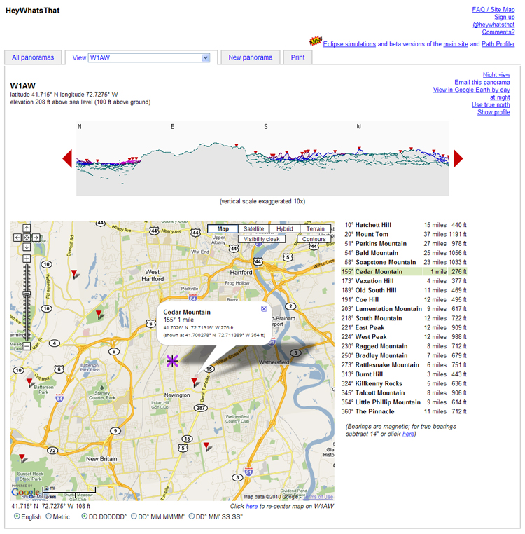
In a nutshell, you select a location -- by name, geographic coordinates or by clicking the location on a map -- and in a minute or two, the Web site displays a 360-degree panorama of the horizon from that location. The panorama pinpoints the peaks on the horizon, and a table delineates the direction, name, distance and height of those peaks.
You can see the horizon from the top of your tower by adding the tower height in the elevation field before you start the panorama generation process.
The panoramas are very revealing. For example, on a clear day, I can see a peak to the north-northeast that I assumed was the most distant peak I could see from my neighborhood. After studying charts and maps, I concluded that I was seeing Mount Monadnock, about 95 miles away in southern New Hampshire. The panorama that Hey, What's That? Web site generated for my neighborhood indicates that I may actually be seeing Bald Peak just south of Palmer, Massachusetts, about 45 miles away.
Until next time, keep on surfin’.
Editor’s note: Stan Horzepa, WA1LOU, still likes to think that he sees Mount Monadnock from the top of his tower. To contact Stan, send him e-mail or add comments to his blog.
Photo Gallery
-
 Stan Horzepa, WA1LOU
-
 The Hey, What's T...

Back


